Local Footpaths
Kingussie has a fantastic network of footpaths – maintained and improved by the KCDC Path Group.
Kingussie Path Leaflet
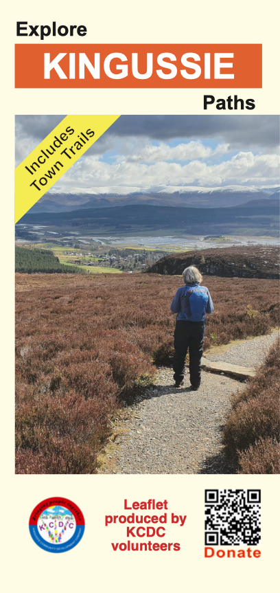
The Kingussie Path Leaflet (available free from many shops, hotels, B&Bs and leaflet stands throughout Kingussie) provides maps and descriptions of paths in and around Kingussie, Newtonmore, Laggan & Kincraig.
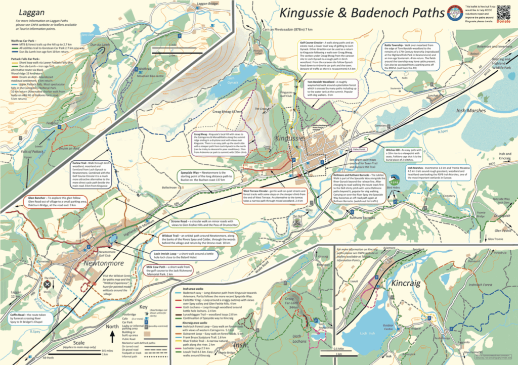
The leaflet also includes an illustration and historical descriptions of the Kingussie Town Trail and Gynack Mill Trail. together with further details of KCDC, the KCDC Paths Group, Cycle Friendly Kingussie and the Scottish Outdoor Access Code.
The leaflet has proven to be extremely popular with visitors and locals alike.
The reverse of the leaflet provides an illustration of the local area with many routes and paths identified together with historical and geographic notes of interest.
Walk Highlands website
A description of footpaths anywhere within Scotland would be incomplete without reference to the incomparable Walk Highlands website
The Walk Highlands website provides fully detailed maps, descriptions and photographs of paths of all types: from the gentle Gynack Mill Trail to full-day “expeditions” and multi-day long-distance footpaths.